 Search
Route issueNarrow Unsurfaced
 The cycle path between Barway and Ely is a mixture of unsurfaced path and narrow crumbling tarmac. This northern section of the path follows a narrow surfaced path on the top of the floodbank but the tarmac surface is in poor condition with large cracks.
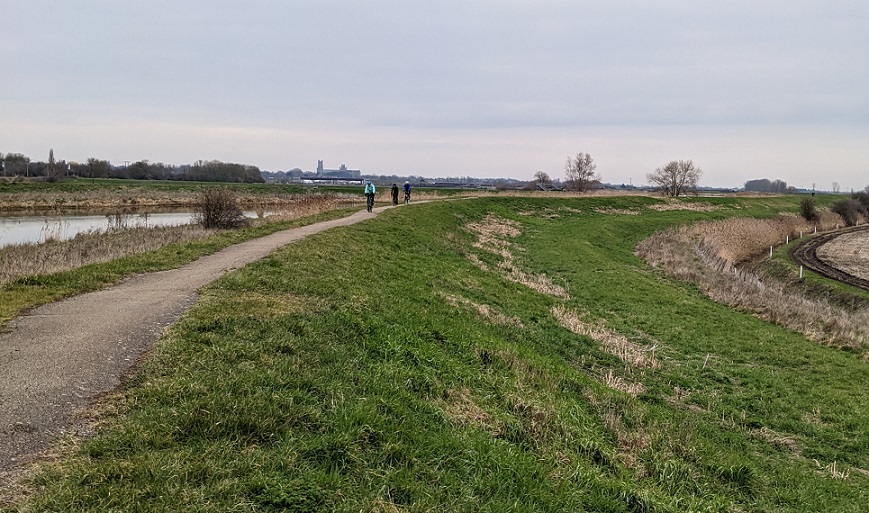
Path between Barway and Ely - northern section
The railway underpass is now improved with no cattlegrids.
The photo shows the southern end of the floodbank path.
This issue is on these routes:
Ely and Fordham,
Ely and La Hogue,
Ely and La Hogue v2,
Ely and Newmarket,
Ely circuit anticlockwise,
Ely circuit clockwise via Upware,
Ely circuit clockwise via Upware v2,
Ely circuit clockwise via Wicken,
Ely circuit clockwise via Wicken v2,
Ely circuit via Little Downham,
Ely circuit via Little Downham v2,
Ely, Welney and Wicken,
Imperial Centenary ride - Western Explorer.
We welcome corrections and updates.